

Stay up to date – you can subscribe to our newsletter here

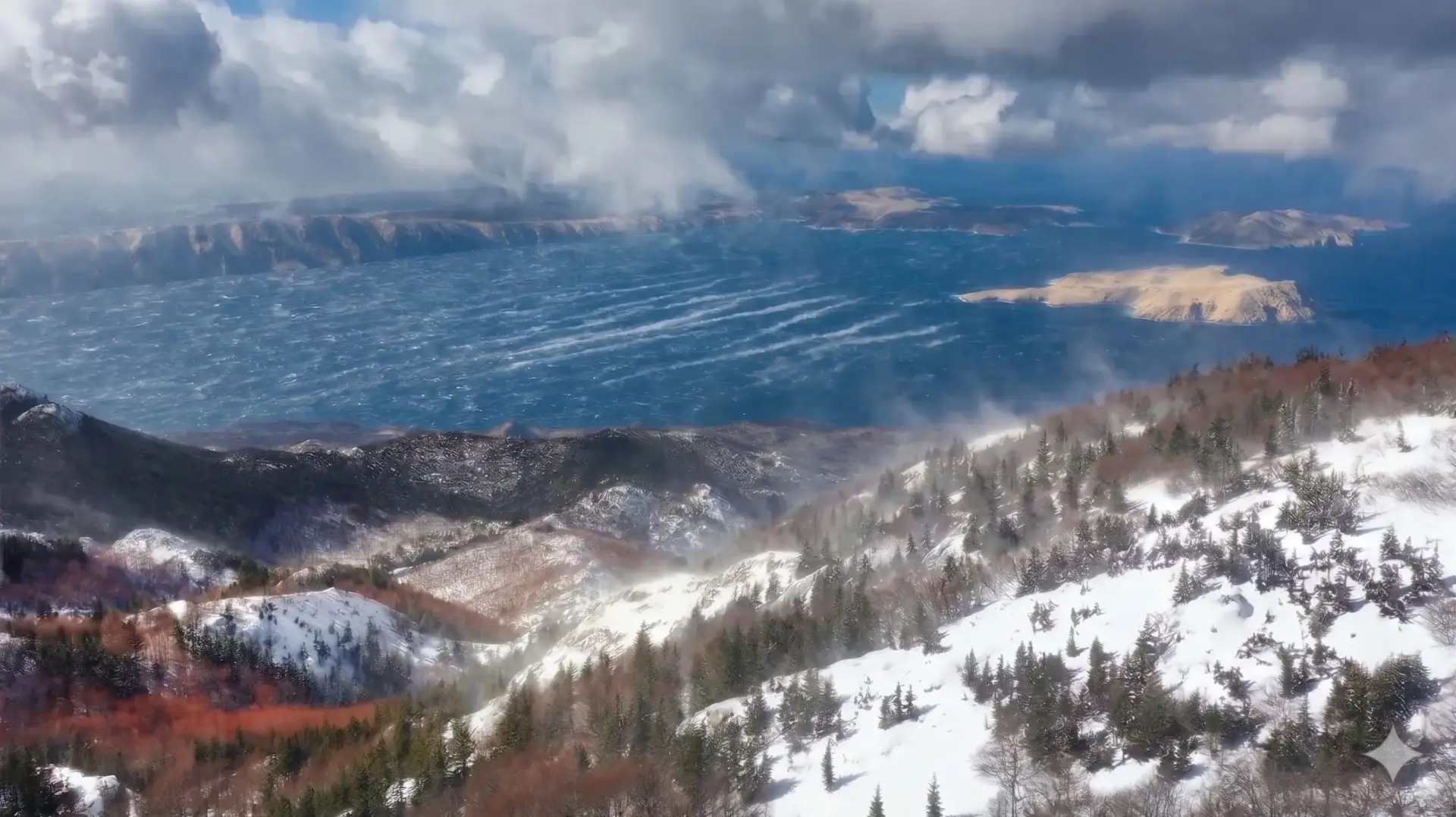
After a string of unusually mild autumn days, November is showing its harsh side along the Adriatic coast and in the Croatian hinterland. A Mediterranean cyclone is currently moving eastward across Croatia, bringing cold air from Northern Europe and causing a sharp drop in temperature, heavy rainfall, and stormy winds. Anyone traveling along the coast this weekend or planning a trip through the mountains should be prepared for rapidly changing conditions.
Cold front on Friday: Heavy rain in the north and a Bora storm on Velebit
While the weather change in northern Croatia began as early as this morning with strong northerly winds and falling temperatures, the cold front will hit the coast and mountainous regions with full force as the day progresses.
Rainfall was particularly heavy in the Rijeka region and its hinterland even before the storm hit: Within 24 hours, over 200 liters of rain per square meter were recorded in some areas.
The following weather conditions are expected for the remainder of Friday:
- Northern Adriatic and Northern Dalmatia: Heavy rain showers and localized thunderstorms are moving through the region. At the same time, the Bora wind is rapidly intensifying along the northern Adriatic and reaching gale force in many areas. Hurricane-force gusts are expected directly below the Velebit Mountains.
- Central Dalmatia and the South: In the evening, the Bora will continue to spread as far as Central Dalmatia. In the far south of Croatia, however, a moderate to strong southwesterly wind will persist for the time being.
- Gorski Kotar and Lika: As cold air moves in, the snow line will drop significantly in the afternoon. In the mountainous regions, rain will turn to sleet and eventually to snow.
Notice for travelers and mariners: The stormy Bora winds and the onset of snowfall in the highlands are already causing significant disruptions. Numerous ferry and catamaran routes have been suspended, and road closures are expected on the coastal roads below the Velebit Mountains starting this afternoon. Winter equipment is mandatory for travel through the Lika and Gorski Kotar regions.

Weekend Overview: A Sunny Respite Before the Next Storm
After a turbulent Friday, the weather will gradually calm down overnight into Saturday—but the calm won’t last long. The weekend will share itself into two completely different halves:
Saturday: Sunny, dry, but noticeably cooler
Once the front has passed, Saturday will bring a significant improvement in the weather nationwide. In large parts of Croatia, as well as along the coast, the sun will shine for the most part, and it will remain dry. Only in the far south may a few last raindrops fall in the early morning hours. The Bora wind along the Adriatic will weaken noticeably as the day progresses. Despite the sunshine, temperatures will remain significantly lower; in inland areas, light frost and patches of fog are expected in the morning.
Sunday: Return of the Jugo and more rain
Sunday will also start off cold and, in some places, frosty inland, but the next change in the weather is already on its way from the west. The wind along the coast will shift back to the south (Jugo) and bring in thicker clouds. As early as the morning hours, new rain will set in along the Adriatic coast and in the adjacent hinterland, while the north and east of the inland regions will remain largely dry throughout the day.
Outlook for the Coming Week
Sunday’s weather deterioration isn’t just a brief interlude—it marks the start of a new period of unsettled weather. The start of the coming week will also be dominated by low-pressure systems, milder southerly winds, and recurring rain along the Adriatic coast. Anyone planning work on a boat, at the port, or outdoors should therefore be sure to take advantage of the sunny window on Saturday.

